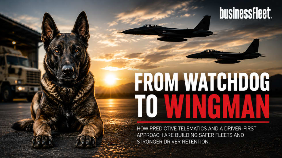
MOUNTAIN VIEW, CA – Google added a new, free feature to its Google Maps application called “Google Public Alerts,” which is designed to alert users about emergency situations and how those situations can affect roads and routes.

The new feature pulls relevant weather, public safety, and earthquake alerts from US National Oceanic and Atmospheric Administration (NOAA), the National Weather Service, and the US Geological Survey (USGS).

For fleets that issue mobile devices to their field employees, this feature could potentially make an individual aware of major weather systems approaching, wildfires, flooding, and other important emergency situation information. Fleet managers could use Google Maps to monitor areas impacted by inclement weather or disasters.

Google’s Crisis Response Team is heading up the project. Google Maps is available as a mobile appliaction and accessible via a web browser.

Originally posted on Automotive Fleet

0 Comments